Log in
All resources
Create a design
352 Free Images of Old Maps Of The World
antique
vintage
travel
paper
retro
plan
journey
brown
color
tourism
earth
maps
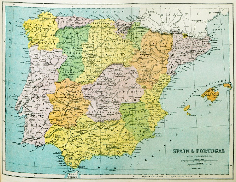
old maps of the iberian peninsula
1870 in spain
images from the new york public library
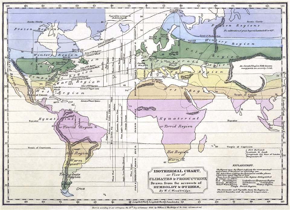
alexander von humboldt
maps by nicolaes visscher i
claes jansz. visscher (ii)
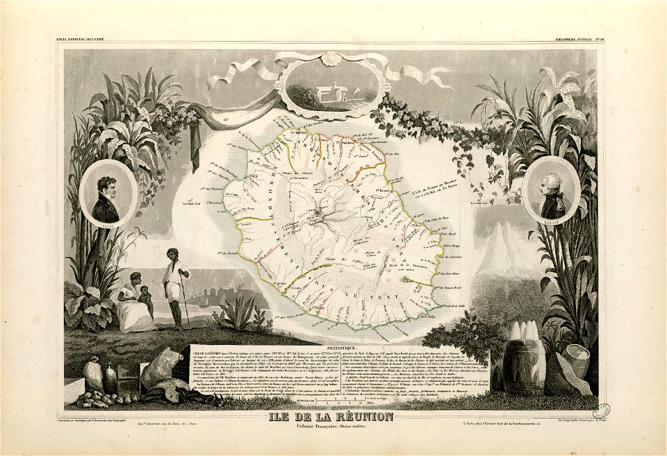
victor levasseur - maps of the world
old maps of réunion
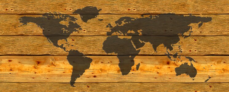
world map
maps
old celestial maps
gerard valck
planet
maps
cornell university library
puritan
vintage
maps
illustration
maps
background
maps
background
ball
roads
maps
house
globe
old constellation maps
maps by samuel dunn
travel
maps
tree
book
travel
maps
yellow
border
travel
maps
artist
maps
building
maps
travel
maps
landscape
rock
travel
maps
background
patterns
travel
maps
travel
maps
old administrative maps of the ottoman empire
1909 maps of asia
travel
maps
tools
maps
self-published work
cc-pd-mark
self-published work
cc-zero
self-published work
cc-zero
self-published work
cc-zero
background
maps
nature
maps
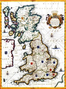
old maps of the british isles
victorian era
history of antwerp
renaissance
diego gutiérrez
renaissance
maps by jacques-nicolas bellin
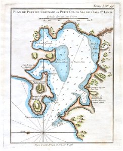
old maps of saint lucia
travel
maps
butterfly
insects
self-published work
pages with maps
german empire
east germany
old maps of the british empire
illustrations by walter crane
self-published work
pages with maps
travel
maps
background
maps
travel
maps
travel
maps
travel
maps
travel
maps
travel
maps
insects
nature
travel
maps
travel
maps
travel
maps
travel
maps
travel
maps
travel
maps
travel
maps
travel
maps
maps by willem and johannes blaeu
old maps with mercator projection
maps by thomas kitchin
andrew dury
details of old maps of the world showing "aquita" in japan
johannes baptista vrints
background
maps
self-published work
pavement
fra mauro map details
old maps of thailand
1800s maps of the world
old maps of the world
claes jansz. visscher (ii)
1650s maps of the world
alphabet charts
lord's prayer
island of california on world maps
1650s maps of the world
1510s maps of the world
german renaissance
maps by willem and johannes blaeu
1630s maps of the world
russian empire in thomas kitchen's general atlas (1773)
general atlas (1773)
old maps of the sea of japan
rangaku
1590s maps of the world
cornelis de jode
orbispictus - extracted images
1650s maps of the world
maps by john cary
1801 maps
atlas ou representation du monde universel t. 2 (1633)
maps by jan janssonius
17th-century double hemisphere world maps
1610s maps of the world
19th-century satirical maps
augusto grossi
reconstructions of old maps
german renaissance
reconstructions of old maps
german renaissance
tresor des cartes geographiques (1659)
old maps of the benelux
1645 maps of belgium
tournaisis
island of california on world maps
1680s maps of the world
old maps of the eastern hemisphere
1710s maps of the world
19th-century maps of tibet
details of old maps
orbispictus - extracted images
1650s maps of the world
wilhelm pleydenwurff
hartmann schedel
old maps of the british empire
illustrations by walter crane
1529 maps of iran
1529 maps
maps of exeter by braun & hogenberg
hooker (alias vowell) arms
tresor des cartes geographiques (1659)
old maps of tunis
cartes generales de toutes les parties du monde (1658)
maps by guillaume sanson
maps from the earth and its inhabitants, vol. x
old maps of the world
old maps of the british empire
illustrations by walter crane
101 - 200 of 352
Next page
/ 4


![Gerardi Mercatoris and I. Hondii Atlas or Representation of the Universal World, and of the Parts of It, Made in Tables and Very Ample Descriptions. [t. 2].](https://cdn.creazilla.com/illustrations/10001063637/gerardi-mercatoris-and-i-hondii-atlas-or-representation-of-the-universal-world-and-of-the-parts-of-it-made-in-tables-and-very-ample-descriptions-t-2-sm.webp)


![[Reproduction of the terrestrial globe (orbis imago) by Jean Stabius, 1515] (Facsimile reproduction)](https://cdn.creazilla.com/illustrations/10000781714/reproduction-of-the-terrestrial-globe-orbis-imago-by-jean-stabius-1515-facsimile-reproduction-sm.webp)
![[Reproduction of the terrestrial globe (orbis imago) by Jean Stabius, 1515] (Facsimile reproduction)](https://cdn.creazilla.com/illustrations/10000450806/reproduction-of-the-terrestrial-globe-orbis-imago-by-jean-stabius-1515-facsimile-reproduction-sm.jpg)
![Treasure of geographical maps of the main states of the universe [...], 1659](https://cdn.creazilla.com/illustrations/10000541161/treasure-of-geographical-maps-of-the-main-states-of-the-universe-1659-md.jpg)


![Treasure of geographical maps of the main states of the universe [...], 1659](https://cdn.creazilla.com/illustrations/10000832962/treasure-of-geographical-maps-of-the-main-states-of-the-universe-1659-md.jpg)


